RTC – Record of Rights, Tenancy and Crops. RTC stands for Record of Rights, Tenancy and Crop Information. RTC/Pahani contains details of land (agricultural land).
In order to maintain the records a survey number (Gat number) is given to a specific piece of land. The record contains the information of location, size, shape, and ownership of the land.
REAL Maps provides a consolidated report which is generated in a short span of time for Karnataka Land Records (RTC bhoomi and RTC pahani).
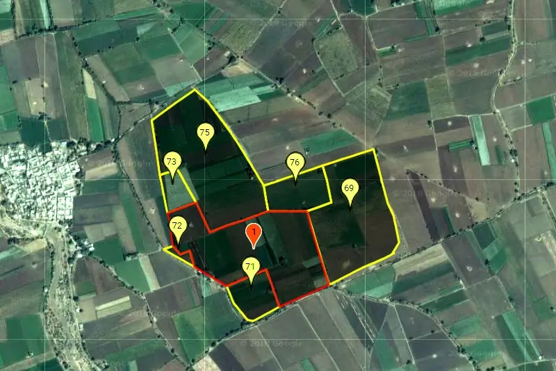
A Sample REAL Maps Report provides a report which consists of a variety of information regarding a particular survey number. Also a map (village map) where that particular survey number is highlighted along with adjoining survey numbers. Information provided includes